Lake & Stream Monitoring
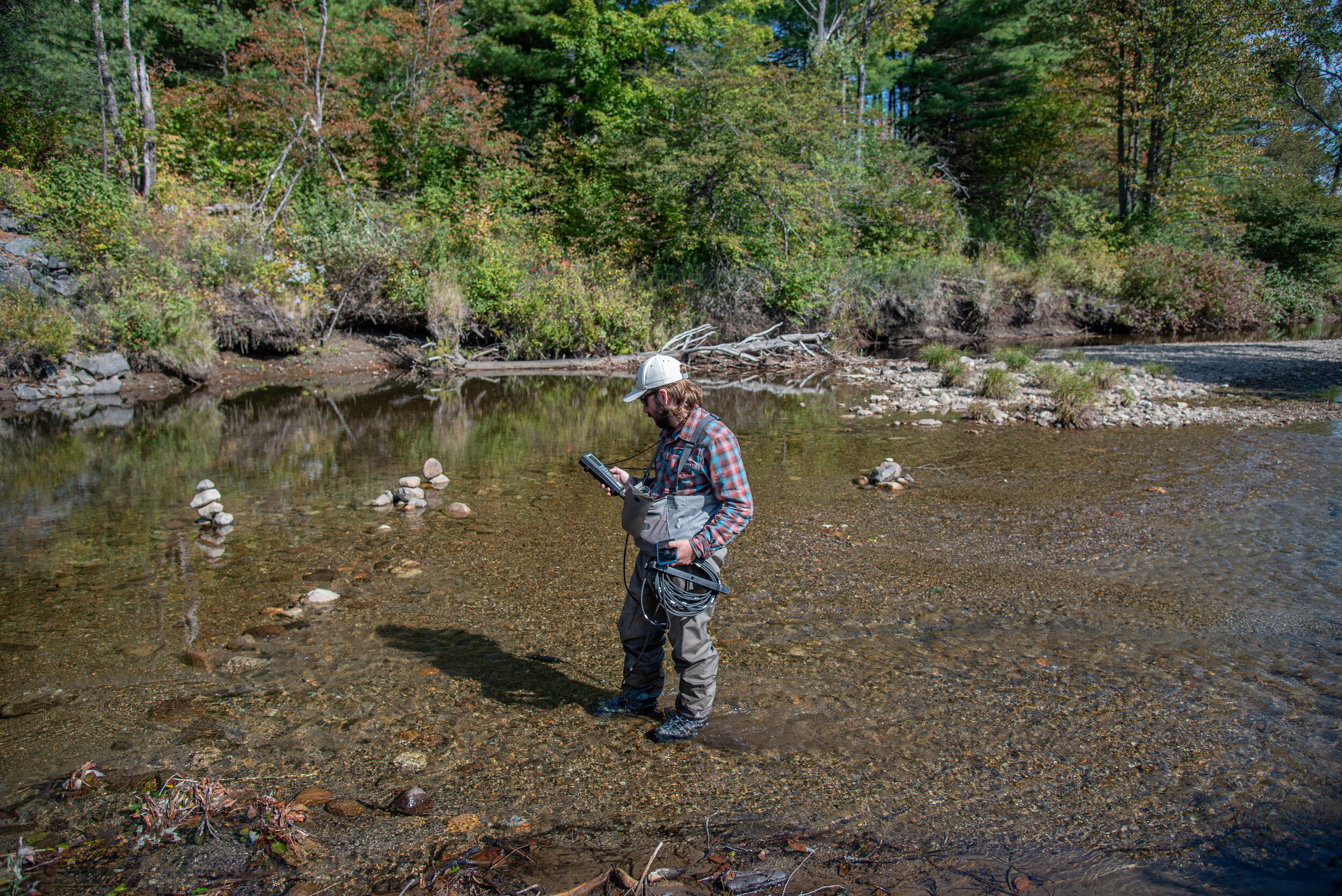
Our regional network of 94 lakes and 25 streams forms the backbone of our research program. The water quality monitoring sites in our network cover 40 percent of the watershed area in the Adirondack Park. We also use the long-term dataset from the Adirondack Lakes Survey Corporation, which monitors 54 lakes and ponds in least impacted watersheds. Our combined datasets cover 20 years and represent the entire range of watershed conditions in the Adirondack Park. The potential of these datasets is amazing and we've used them successfully to investigate stressors and determine the effect of watershed road density on sodium and chloride in lakes (Kelting and Laxson 2010; Kelting et al. 2012). Current water quality research projects include:
determining the regional effects of (1) road salting on watershed nutrient export and soil base cation depletion; (2) road networks and road runoff on lake and stream water quality; and (3) watershed attributes and land use on long-term changes in lake water quality
using remote sensing to estimate trophic indicators both spatially and temporally in an effort to partition the effects of various stressors on water quality
high-resolution environmental monitoring in Upper Saranac Lake

Upper Saranac Lake
View near real-time conditions from the Upper Saranac Lake Environmental Monitoring Platform
Lake Ice Observation Network
Report lake ice conditions to help us understand how lake ice is changing

Salinization of Lakes by Road Salt
Salinization of surface water from sodium chloride (road salt) applied to paved roads is a widely recognized environmental concern in the northern hemisphere, yet practical information to improve winter road management to reduce the environmental impacts of this deicer is lacking. The purpose of our study was to provide such information by developing baseline concentrations for sodium and chloride for lakes in watersheds without paved roads, and then determining the relationship between these ions and paved roads. We found that sodium and chloride concentrations in lakes in watersheds with no roads averaged 0.55 and 0.24 mg/L, respectively, while sodium and chloride concentrations for lakes in watersheds with paved roads were 3.60 and 7.22 mg/L, respectively. Only state road density (lane-km/km2) was positively correlated with sodium and chloride concentrations, which showed that these roads were the main source of salinization. From: Kelting et al. 2012, Water Research, 46:2749-2758.